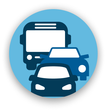
Charging infrastructure to study
effects of vehicle electrification
Detectors and sensors
(e.g. induction loops)
DATA INPUT/OUTPUT
Input data conversion (SUMO,
XODR, Shape Files, VISSIM)
Highly configurable data output
(SQLite, PostgreSQL, CSV)
Coupling with other simulators
(TraCI, gRPC)
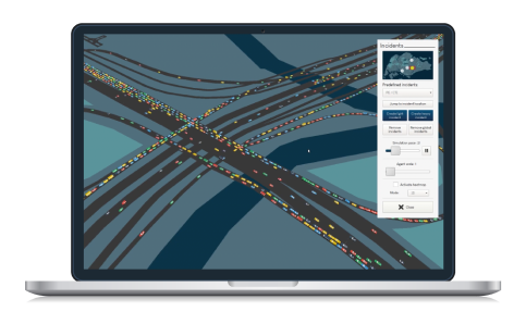
DATA VISUALISATION
Interactive 3D environment
for live monitoring and control
Overlay of statistics, heatmaps,
road colouring, vehicle information
Keyboard and mouse,
touchscreen capabilities
CityMoS andCityMoS Suite
High-Resolution and High-Performance Simulation at City-Scale A faster, cheaper, and safer way to plan, optimize, and control transportation systems
Input and Prepare Scenario
CityMoS Suite
Road networks, travel patterns, simulation parameters and calibration – all accessible via a modern graphical user interface
Run and Visualise Scenario
CityMoS
CityMoS can be run both remotely or on a local machine. CityMoS provides a modern 3D visualisation for instant visual feedback and easy demonstration.
Input and Prepare Scenario
CityMoS Suite
Road networks, travel patterns, and simulation parameters – all accessible via a graphical user interface.
Run and Visualise Scenario
CityMoS
CityMoS can be run both remotely or on a local machine. CityMoS provides a modern 3D visualisation for instant visual feedback and easy demonstration.
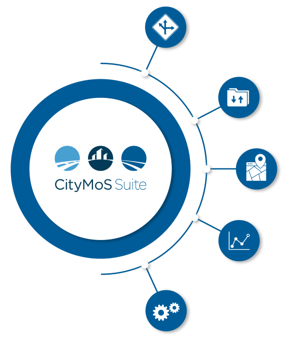
PRODUCT OFFERINGS
What can be done withCityMoS Suite
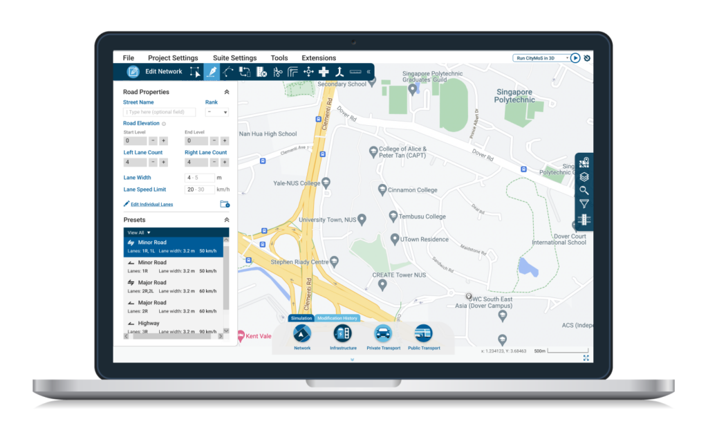
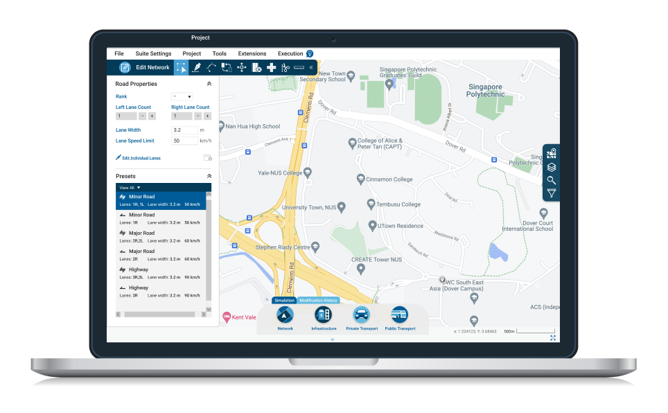
Network Editing
Map overlay from Google Maps, Open Street Map, or custom tile servers
Visualisation of different topology, connections, terrain levels and editing traffic lights, bus
Creating and editing traffic lights, bus lines, bus stops, and routes
Interoperable
Importing networks from SUMO, Vissim, OpenDrive, and ESRI Shapefiles
Travel Demand
Creating different types of travel demand (e.g. zonal demand, flows, trips, etc.)
Calibration
Calibration tool to automatically calibrate model parameters (e.g. driver behaviour or route choices)
Configuration
Editing buildings and other visual features to be shown in the 3D version of CityMoS
Specifying used models and parameters
Setting output metrics and formats
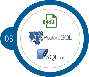
What are theOutput Formats
The simulation output is supported in a variety of formats, such as SQLite, PostgreSQL, and CSV. Enjoy the flexibility to select what best serves your needs.
What are the SupportedInput Formats
SUMO Road Networks, Traffic Demand, and Traffic Lights
Vissim Road Networks and Traffic Lights
OpenDrive Road Networks
ESRI ShapeFiles
*All trademarks, logos and brand names are the property of their respective owners. All company, product and service names used in this website are for identification purposes only. Use of these names, trademarks and brands does not imply endorsement.
Road Networks
Traffic Lights
Traffic Demand
Shapefiles
Collaborate with Us
Find out how we can assist your simulation projects